Gradishta Hillfort in Selcë e Poshtme Village
Fshati: Selcë e Poshtme, Njësia Administrative: Proptisht, Bashkia: Pogradec
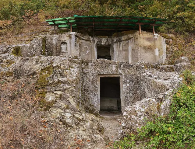
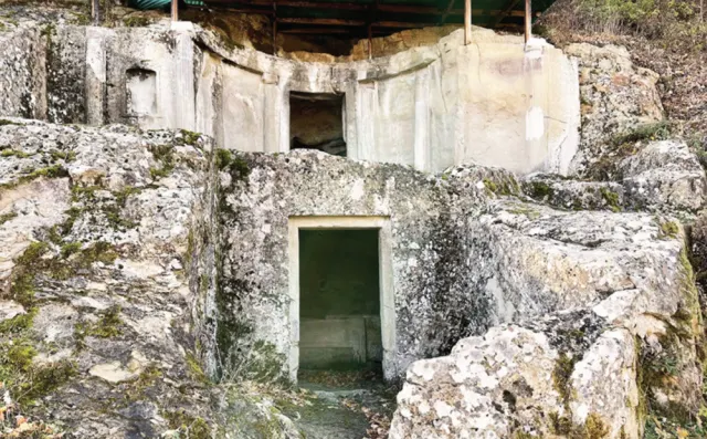
The Gradishta of Selca – also known as the Illyrian city of Selcë e Poshtme – stands on the hilltop above the village of Selcë e Poshtme in the Lower Mokra area. This city was the ancient capital of the upper Shkumbin valley. Its remarkable development was due to its commanding position over the surrounding massif and its control of the main roads which, until the beginning of our era, ran towards Macedonia through the Çervenaka Gorge. Life in the city went through three phases: 1 – The first phase belongs to the Pre-Urban period. It begins in the Late Neolithic and, with interruptions (the Copper Age and Middle Bronze Age have produced no finds), lasts until the 4th century BC. During this period the settlement was only sparsely inhabited and was confined to the highest part of the hill. It was also unfortified. 2 – The second phase begins in the 4th century BC and ends in the 1st century AD. It marks the peak of the Illyrian city of Selcë e Poshtme. In this period the inhabited centre covered a total area of 18 ha, comprising the acropolis on the hilltop (6 ha), the quarters built on the eastern slope of the hill, the necropolis and the outer quarters of the city. The settlement functioned as a centre of crafts, trade, military affairs and administration for the whole region. The city's strong position owed much to its control of the trade route that passed right beside it, which at that time was the only road linking the inland Illyrian regions with those around Lake Ohrid. The construction of the Via Egnatia in the 1st century BC bypassed the main course of this route, with a new road built over the Thana Pass. The increasing use of the latter as a trade route led to the abandonment of the earlier road, and this became one of the main causes of the city's decline at that time. 3 – The third phase is also the final phase of the city's development. It belongs to Late Antiquity (4th–6th century AD) and is characterised by the city's transformation into a secondary settlement, shrunk within the walls of a strategic fortress. The city was finally abandoned in the 6th century AD, during the barbarian invasions of the area.
Monument record
- Ownership
- State-owned
- Current use
- Cultural site
- Original use
- Settlement
- Dating
- Late Neolithic (6th millennium BC) – Late Antiquity (4th–6th century AD)
- Declared a monument
- Ministry of Education and Culture, Decision no. 586, Law no. 609 dated 24.05.1948 and Decision no. 4874, 1971
- Monument category
- I – First
- Current condition
- Of the ancient city, only very few ruins of its dwellings are visible today, rising just a few centimetres above the ground. The part of the ancient city on the acropolis (the hilltop) is almost impossible to visit because of dense vegetation, while the rest, below the necropolis, is now used as farmland. Since 2010 the area occupied by the Illyrian city has been declared an Archaeological Zone A, protected by law by the Albanian state.
- Distance from Pogradec city centre
- 42 km to the north-west.
How to get there
At present the road from Pogradec to the village of Golik is in very good condition, while from the turn-off towards Mokra (in Golik) to Selcë e Poshtme the road is in poor condition due to ongoing reconstruction. Buses with more than 30 passengers are advised to go only as far as the village of Urakë. From there to Selcë e Poshtme, it is advisable to travel by minibus or small car.
What it offers
- Cultural Monument